
An Italian nobleman drew a map in 1587 and buried something extraordinary inside it.
Nobody noticed for 440 years.
What the radar found directly beneath that spot on the map has no good explanation.
The 1587 Map of Mount Ararat Nobody Looked At for 440 Years
Urbano Monte was a Milanese nobleman living during the Renaissance – a man consumed by the desire to understand the world God had made.
In 1587, inspired by the first Japanese embassy ever to visit Europe, he set out to create the most complete map of the earth anyone had attempted.
The result was the Planisphere – 60 hand-drawn sheets that assembled into a single circular image 10 feet across.
Monte used a north polar azimuthal projection that cartographers wouldn't widely adopt until the modern era.
He packed the map with sea creatures, mythical beasts, distant cultures, and meticulous detail about every corner of the known world.
And in the mountains of what is now eastern Turkey, he drew something that sat quietly for 440 years.
Noah's Ark – resting exactly where Genesis 8:4 says it came to rest, on the mountains of Ararat, after 150 days of flood.
The original manuscript changed hands over centuries before Stanford University's David Rumsey Map Center acquired it in 2017 and digitally assembled it for the first time.
When independent researcher Jimmy Corsetti studied Monte's placement of the Ark, he stopped cold.
The illustration sits virtually on top of the Durupınar Formation – the precise boat-shaped mound in eastern Turkey where a team of American researchers has spent years scanning the ground.
"The same location as the Durupinar site, virtually the exact same length," Corsetti wrote. "Coincidence?"
What Ground-Penetrating Radar Found at the Durupinar Site in Turkey
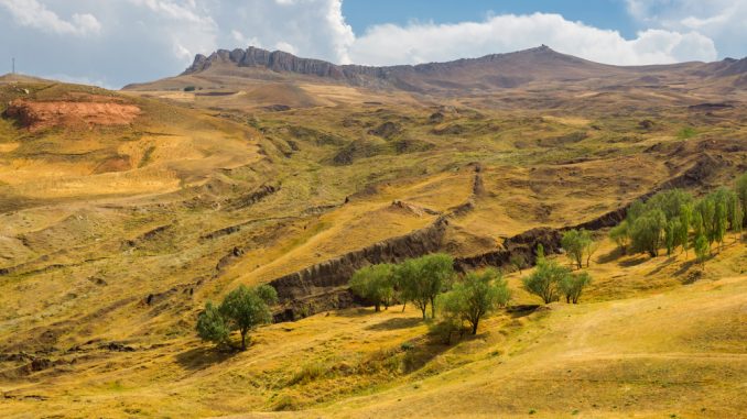
The Durupınar Formation sits 18 miles south of Mount Ararat at 6,500 feet above sea level.
It lay hidden under mud until 1948, when heavy rains and earthquakes exposed a mysterious boat-shaped mound and a Kurdish shepherd came upon it.
Turkish Army captain İlhan Durupınar spotted it in aerial photographs in 1959 and alerted the world.
Andrew Jones, lead researcher with Noah's Ark Scans, has brought modern technology to that mound.
His ground-penetrating radar revealed a network of corridors beneath the surface – tunnels running down the center of the formation and along its inner edges, all converging on a hollow central chamber he calls the atrium.
The Bible says the Ark had three internal levels.
The radar shows three distinct layers.
In 2024, Jones and his team collected 88 soil samples from 22 locations inside and outside the formation and sent them to Atatürk University for analysis.
The soil inside the formation contains nearly three times the organic matter of the surrounding ground – consistent with thousands of years of decomposed wood.
Potassium levels inside run 38% higher.
The interior soil chemistry points specifically to organic decomposition rather than geological variation.
"This is not what you'd expect to see if the site were simply a solid block of rock or the result of random mudflow debris," Jones said. "But it is exactly what you'd expect to find if this were a man-made boat."
Infrared thermography – heat-sensing technology that detects buried structures – further suggested the presence of a ship-shaped hull deep beneath the surface.
The formation measures approximately 515 feet long.
Biblical measurements place the Ark at 300 cubits – approximately 515 feet.
The Biblical Flood Evidence Believers Have Pointed to for Centuries
People of faith have been searching these mountains for a very long time.
A 4th century bishop named Jacob of Nisibis made the journey toward Ararat hoping to reach the Ark – and when he couldn't complete the ascent, the account records that an angel brought him a piece of it instead.
That story has been passed down for seventeen centuries.
Generation after generation of Christians have looked toward that mountain and understood it as sacred ground – the place where God kept His promise, where the waters receded, where a family stepped out onto dry land and the world began again.
The search has never been about proving the Bible right.
The Bible doesn't need proving.
It’s always been about the deep human longing to touch something God touched – to stand where the story happened and say: this is where He was faithful.
A Renaissance mapmaker who never left Italy drew an Ark on a mountainside in Turkey in 1587, at coordinates matching the very spot where radar is now finding tunnels, chambers, and soil carrying the chemical signature of ancient wood.
Call it coincidence.
Or call it what your grandmother would call it – one more quiet confirmation of something she never doubted.
Sources:
- Andrew Jones, Noah's Ark Scans, "3D Ground-Penetrating Radar at Unique Boat-Shaped Site in Turkey," noahsarkscans.com, 2021.
- Noah's Ark Scans, "New Soil Tests and Re-Analyzed GPR Scans Bolster Evidence of Man-Made Structure at Durupinar Noah's Ark Site," press release, May 19, 2025.
- Stacy Liberatore, "Noah's Ark Mystery Deepens as Ancient Map Points to Resting Place of Biblical Vessel," Daily Mail, May 27, 2026.
- GB News, "Archaeology Breakthrough as Researcher Blows Lid on Discovery Which Could Prove Noah's Ark Was Real," gbnews.com, April 20, 2026.
- David Rumsey Map Center, "Largest Early World Map – Monte's 10 ft. Planisphere of 1587," davidrumsey.com, November 26, 2017.